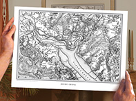
Cassinis pre-printed 1:50,000 sheet maps are no longer available through our website.
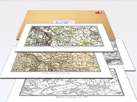
However, all the mapping that was used to create these (as well as maps from other scales and other periods) is available for you to create your own maps in a wide range of formats. These include:
Please click on the appropriate links for more information.
In addition, several resellers have stocks of some of these pre-printed maps although as these are exhausted theyll not be replenished. Please see the list below. This gives very general guidance as to what areas they cover: its not possible to be more precise. Nor can we provide information about availability, prices or payment terms. Please contact these resellers directly using the information provided. The location has only been given where the reseller has a physical shop.
Stockists of Cassini pre-printed maps
In addition, other retailers and local or family history societies may have smaller stocks of local titles.
|