Revised New Series 180 - Barnstaple and Ilfracombe(1900)
RRP
Ex VAT
VAT (20%)
Inc VAT
Revised New Series 180 - Barnstaple and Ilfracombe (1900) ISBN 978-1-84736-312-1 Cassini code: RNC-180
-
£ 15.99
£ 0.00
£ 15.99
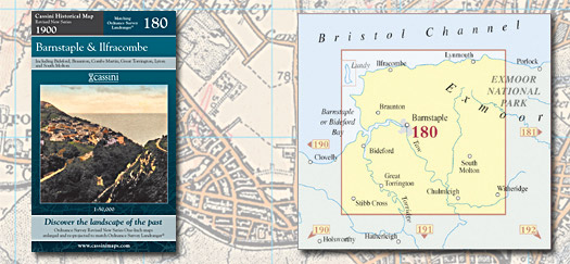
Revised New Series 180
- Barnstaple and Ilfracombe Sepia-toned maps capturing the Late
Victorian railway era. Re-projected and enlarged to
match the present-day Ordnance Survey
Landrangers®
Key features
include:
&bull Digitally enhanced cartography &bull All maps
combined and enlarged to match present-day
1:50,000 scale
&bull British National Grid for ease of reference
&bull Locator map featuring modern-day
settlements
&bull Sheet indicator showing maps used
&bull Robust laminated cover with contemporary
illustration &bull
Cover: 4-colour gloss laminated &bull
Sheet: 4-colour &bull
Folded size: 135mm x 226mm &bull
Sheet size: 1000mm x 890mm
&bull Historical notes
RRP
Ex VAT
VAT (20%)
Inc VAT
Revised New Series 180 - Barnstaple and Ilfracombe (1900) ISBN 978-1-84736-312-1 Cassini code: RNC-180