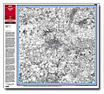
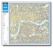
County Series
1855-1896
1:2,500 |
County Series
1880-1910
1:10,000 |
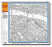
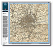
Old Series
1805-1874
1:50,000 |
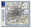
New Series (Revised)
1893-1903
1:50,000 |
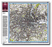
Revised New (Colour)
1897-1912
1:50,000 |
Popular Edition
1919 -1926
1:50,000 |
New Popular
1940-1948
1:50,000 |
Landplan
Present Day
1:10,000 (& 1:5,000) |
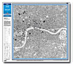
Streetview
Present Day
1:10,000 (& 1:5,000) |
Explorer
Present Day
1:25,000 |
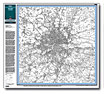
Landranger
Present Day
1:50,000 |