Ordnance Surveys most detailed historical mapping
Published from the mid 1800s to the 1920s
Instant downloads available
Ideal for Family History research
Choose maps from 468 available Towns
Amazing detail - 1:500, 1:528 and 1:1056 scales
View a list of the available Towns that were mapped: Town Plan List
Cassini's Town Plan mapping is the most detailed historical Ordnance Survey mapping available. Easy to find and download. For those who are particularly interested in local history and genealogy, the town plans are essential research tool.
Important note: The area of mapping shown on the next page is a thumbnail view of exactly what will appear on your product.
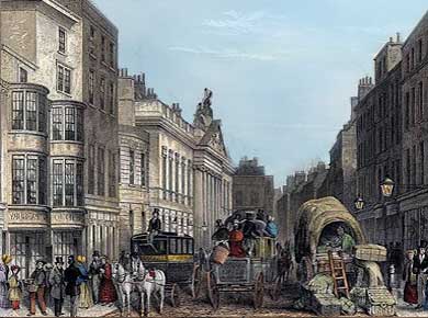
These maps were published for larger towns and cities at scales of 1:500, (c.10' to 1 mile), 1:528 (exactly 10' to 1 mile) and 1:1056 (5' to 1 mile) from the mid 1800's onwards. An immense amount of detail is shown, down to every lamp-post and every pillar-box, even paths, trees and sheds in peoples gardens.