 |
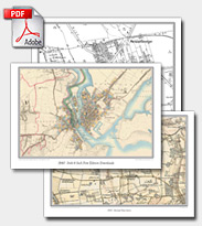 |
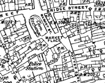
Download a Map |
Maps from 1805 to the present day. Britain’s landscape updated to match the present-day. Now includes coverage of Ireland |
 |
|
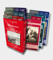 |
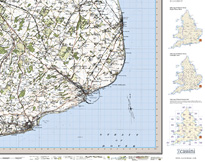
Printed Maps |
Printed Maps and 3-map Box Sets for England and Wales. Created from Ordnance Survey's original historical mapping series. |
|
|
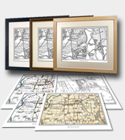 |
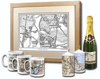
Personalised Maps |
Centre your maps on anywhere in the UK. Simply enter a postcode or place name to centre your map then choose your historical map series |
|
|

 View Basket