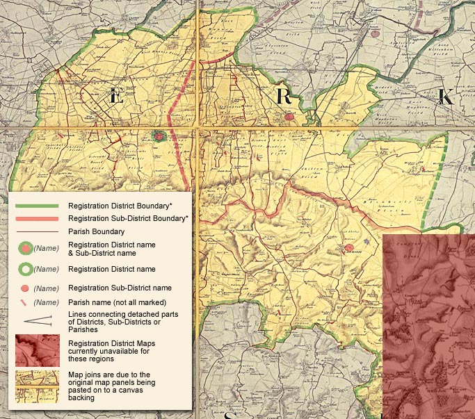
| *Note: Maps of Kent may vary. Registration District boundaries are Yellow and Registration Sub-District boundaries are Green Registration District maps from the 1871 census Cassini Publishing, in partnership with The National Archives, has released a unique set of historical maps on-line. For the first time, digital versions of the original Registration District maps from the 1871 census are available to browse and download. The original Registration District maps are stored with The National Archives in Kew, London. This set of maps is the only known collection in the world and offers a fascinating snapshot of how England and Wales were administered at the time of the 1871 census. The maps are based upon the Ordnance Survey “Old Series” but were hand-annotated in 1870 to show the Registration Districts of England and Wales as they then existed. This additional information makes the maps a vital resource for genealogists and local historians, who now have immediate access to this unique collection. Cassini’s web service allows you to search by postcode, place-name, parish and registration district, and to create your own maps using seven different collections of historical and present-day Ordnance Survey maps covering England and Wales. All have been reformatted to provide exact comparisons with present-day Ordnance Survey maps. Due to the ravages of time, the set of Registration District maps is incomplete. In these cases a pink-tinted map from the “Old Series” has been substituted to complete the layer. Cassini has many other mapping series available on this site which cover the affected area. |