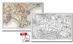
- PDF maps downloads.
- Choose from six mapping series
- Available in 2 sizes - To fit A4 and A3
- Including map border
- Including personal inscription
- Landscape orientation
- Map scales : 1:50,000 to 1:30,000
- Requires Adobe Reader
Choose from four mapping series, spanning the period 1805 to 1946.
- County Series - Six Inch to the Mile - Street level mapping Published at the end of the 19th Century.
- Old Series 1805 to 1874 - Engraved maps from the time of the canal and the horse-drawn cart.
- Revised New Series 1896 to 1904 - Sepia-toned maps capturing the Late Victorian railway era.
- Popular Edition 1919 to 1926 - Britain’s first full-colour maps showing the dawn of the motoring age.
- New Popular Edition 1945 to 1948 - A record of a battered country at the end of a global war.
- Current Day Ordnance Survey maps - A perfect way to help you compare the past with the present.
Our maps are ideal for for anyone who has interest in the history of their area and wishes to trace the changes that it has undergone since the Industrial Revolution. Because we have enlarged the originals to match the scale and coverage of the present-day Ordnance Survey maps, Cassini Historical maps are ideal for comparing the past with the present.
| Requires Adobe Acrobat Reader. Download here: |