Ordnance Survey present day maps; Known as the 1:50,000 First Series when it was first published between 1974 and 1976, the printed form acquired the ‘Landranger®’ name in 1979. These maps have stood the test of time and remain the definitive survey of the country. Features as diverse as shopping centres and disused railway lines, car parks and stone monuments, rock screes and picnic sites are all included, indicated by an increasing range of symbols and abbreviations.. Computers, online or otherwise, have played an increasingly important role in the production of the Ordnance Survey’s maps ever since the nascent technology was used to help create the quarter-inch gazetteer in 1969. The Ordnance Survey had created digital versions of all its maps by 1995 and these are now available in an ever increasing range of formats. Currently, there are over 440 million different features of the British landscape recorded on the Ordnance Survey’s database (including 800,000 road names), with over 5,000 amendments being made to these each day. What further changes the Ordnance Survey and its mapping will embrace in the years to come is open to speculation; what seems certain is that its cartography will continue to provide ever more fascinating comparisons with the landscapes of the past which it has so faithfully recorded for over two hundred years.
|
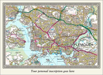 The current Ordnance Survey 1:50,000 mapping (represented, in most people’s minds, by the Landranger® series) is the culmination of over 200 years of painstaking and continuous surveys of the British landscape.