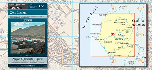
This map includes the following locations
Allerby,
Arkleby,
Arlecdon,
Asby,
Bank End,
Barepot,
Beckermet,
Belle Vue,
Bigrigg,
Birkby,
Blackbeck,
Bleachgreen,
Blindcrake,
Brackenthwaite,
Brandlingill,
Bransty,
Branthwaite,
Branthwaite Edge,
Braystones,
Bridekirk,
Bridgefoot,
Brigham,
Briscoe,
Broughton Cross,
Broughton Moor,
Broughton, Great,
Broughton, Little,
Browtop,
Bullgill,
Calder,
Calder Bridge,
Camerton,
Carleton,
Cleator,
Cleator Moor,
Clifton, Great,
Clifton, Little,
Cockermouth,
Common End,
Coulderton,
Croasdale,
Crosby,
Crosby Villa,
Crosscanonby,
Crossgates,
Dean,
Deanscales,
Dearham,
Distington,
Dovenby,
Eaglesfield,
Egremont,
Ellenborough,
Ennerdale Bridge,
Eskdale Green,
Ewanrigg,
Felldyke,
Flimby,
Fothergill,
Frizington,
Gilcrux,
Gilgarran,
Glasson,
Gosforth,
Grayson Green,
Great Broughton,
Great Clifton,
Greengarth Hall,
Greengill,
Greysouthen,
Haile,
Hall Santon,
Harker Marsh,
Harras,
Harrington,
Harrington, High,
Hawk Hill,
Hensingham,
High Harrington,
High Lorton,
High Sellafield,
High Walton,
Hopebeck,
Howgate,
Isel,
Keekle,
Kells,
Kidburngill,
Kirkborough,
Kirkland,
Lambfoot,
Lamplugh,
Leys,
Little Broughton,
Little Clifton,
Lorton, High,
Lorton, Low,
Low Lorton,
Low Moresby,
Low Walton,
Lowca,
Loweswater,
Mains,
Maryport,
Middletown,
Mill, New,
Millgillhead,
Mirehouse,
Mockerkin,
Moor Park,
Moor Row,
Moorclose,
Moresby Parks,
Moresby, Low,
Mossbay,
Mosser,
Mosser Mains,
Nepgill,
Nether Wasdale,
Netherton,
Nethertown,
New Mill,
North Side,
Oldfield,
Pallaflat,
Papcastle,
Pardshaw,
Pardshaw Hall,
Parkside,
Parsonby,
Parton,
Pica,
Plumbland,
Ponsonby,
Quality Corner,
Redmain,
Risehow,
Rottington,
Row Brow,
Rowrah,
Salterbeck,
Sandwith,
Sandwith Newtown,
Santon,
Santon Bridge,
Scilly Bank,
Seascale,
Seaton,
Sellafield, High,
Siddick,
Side, North,
Southam,
St. Bees,
St. Helens,
Stainburn,
Tallentire,
Thackthwaite,
Thornhill,
Threapland,
Tivoli,
Townhead,
Ullock,
Walton, High,
Walton, Low,
Wasdale, Nether,
Waterend,
Wath Brow,
Wellington,
Westfield,
Westmoor End,
Whitehaven,
Wilton,
Winder,
Winscales,
Woodend,
Woodend,
Woodhouse,
Workington,
Yottenfews,
|