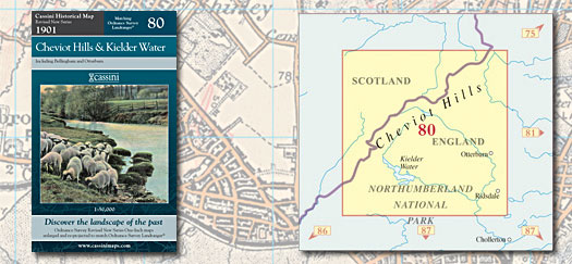
Revised New Series 80 - Cheviot Hills & Kielder Water
|
||||||
| Revised New Series 080 - Cheviot Hills & Kielder Water
Sepia-toned maps capturing the Late Victorian railway era. Re-projected and enlarged to match the present-day Ordnance Survey Landrangers® Key features include: • Digitally enhanced cartography • All maps combined and enlarged to match present-day 1:50,000 scale • British National Grid for ease of reference • Locator map featuring modern-day settlements • Sheet indicator showing maps used • Robust laminated cover with contemporary illustration • Cover: 4-colour gloss laminated • Sheet: 4-colour • Folded size: 135mm x 226mm • Sheet size: 1000mm x 890mm • Historical notes |
||||||
More Details >>