Popular Edition 96 - Barrow-in-Furness & South Lakeland
|
|||||||||||
| Popular Edition 96 - Barrow-in-Furness & South Lakeland
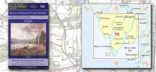
BritainÆs inter-war landscape re-projected and enlarged to match the present-day Ordnance Survey Landrangers« Key features include: • Same map name and number as the equivalent Ordnance Survey Landranger« • Digitally enhanced cartography • British National Grid for ease of reference • Locator map featuring modern-day settlements • Sheet indicator showing Popular Edition maps used • Robust laminated cover with contemporary illustration • A brief history and overview of Ordnance SurveyÆs Popular Edition mapping |
|
||||||||||
More Details >>