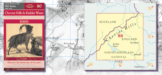
Old Series 80 - Cheviot Hills & Kielder Water
|
|||||||||||
| Old Series 80 - Cheviot Hills & Kielder Water
Created from Ordnance Survey one-inch maps, re-scaled and re-projected to match Ordnance Survey Landranger« Key features include: • Same map name and number as the equivalent Ordnance Survey Landranger« • Digitally enhanced cartography • British National Grid for ease of reference • Locator map featuring modern-day settlements • Sheet indicator showing Old Series maps used • Robust laminated cover with contemporary illustration • A brief history and overview of Ordnance SurveyÆs Old Series mapping |
|
||||||||||
More Details >>