Derbyshire (1900)
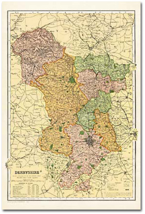 |
Derbyshire (1900) All the counties of England covered in this elegant collection of maps taken from Bacon’s Commercial and Library Atlas of the British Isles of 1900. In his introduction to the Atlas, George Bacon was expressed the hope “that it will be pronounced unique and unrivalled, no such complete and extensive collection of Home Maps having hitherto been published. The Maps are all based on the latest Ordnance Surveys.” His confidence was justified; the maps stand today as accurate and elegant portraits of late-Victorian Britain from the time of the 1901 Census, and will prove fascinating to historians, genealogists and gift buyers; indeed to anyone with an interest in their county’s past. Key features include: • Digitally enhanced cartography • Printed on 150gsm silk-finish paper • Supplied in a 380mm gold presentation tube • Ideal for decorative display and research • Sheet size: 350mm x 500mm |
More Details >>