 |
MapmakerPlus Information |
|
 |
Coverage
Currently England and Wales are covered with four 1:50,000 series, one 1:10,000 series and one 1:2,500 series. Coverage of Scotland is currently available for Old Series maps only.
- County Series 1:2,500 Late 1800's - Revealing the changing face of Britain in amazing detail.
- County Series 1:10,000 Late 1800's - The first generation of Britain's County Series mapping.
- Old Series 1805 to 1874 - Engraved maps from the time of the canal and the horse-drawn cart.
- Revised New Series 1896 to 1904 - Sepia-toned maps capturing the Late Victorian railway era.
- Popular Edition 1919 to 1926 - Britain’s first full-colour maps showing the dawn of the motoring age.
- New Popular Edition 1945 to 1948 - A record of a battered country at the end of a global war.
|
|
Selection
To order your MapmakerPlus map, centred on the area of your choice, enter a post code or place name and select the appropriate option. The search box is not case-sensitive, but you will need to enter a complete post code. If a search is returned with 'no placename found for xxx', try alternative spellings or punctuation: 'St Albans' rather than St. Albans' or Stoke on Trent' rather than 'Stoke-on-Trent', for example.
Search results
The screen will display thumbnails of all the maps available at the scale indicated by the tab at the top of the page . It will also show the date range of the map. Note: site centred maps are made up of multiple, seamless, tiles geo-rectified and edge-matched to form a continous mapping layer. Therefore there may be more than one date depending on when each map was surveyed and published. In some cases there might also be visible joins where two map sheets don't align. This is usually due to the nature of the original map sheets.
|
 |
|
Personalisation
A title (maximum 60 characters) can be added.
Why not add your own information such as village, town name or personalise it with the name of the persons house the map is centred on to create a truly unique map.
Please restrict your text to letters (lower or upper case), numbers, apostrophes, commas, colons, semi-colons, hyphens and full stops. Other characters, including ampersands, inverted commas and question marks, can cause problems with text display.
Verification of centre point
Clicking the 'View map centre' button enables you to view an enlargement of the centre area of the map, letting you to check that the map is correctly centred.
Adjusting the centre point
Go 'Back' and re-specify the place name or post code. |
National Grid
This will be superimposed on the final map.
Cover orientation
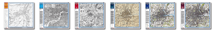
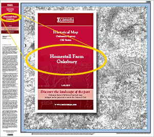
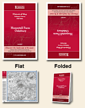
You can choose the orientation of the cover by selecting either Flat (cover is the right way up) or Folded (Cover is inverted so that it shows the right way up once folded. See image on right of page).
Cassini’s full range of geo-rectified historical mapping of England & Wales is now available as large-format (80cm x 80cm) maps matching the specifications of Ordnance Survey’s OS Select®.
Choose from
Five periods (early 19th century to 1940s)
Three scales (house-level 1:2,500, street-level 1:10,000 or bird’s-eye 1:50,000)
Two formats (rolled or folded)
Features
Map dimensions 80cm x 80cm
Sheet dimensions 100cm x 90cm
Integral printed cover
Historical notes
Contemporary Map key |
 |
|
|
|