Cassini’s printed maps are digitally enhanced reproductions of the original Ordnance Survey maps of the same names – but with a very important difference. We have combined, re-projected and enlarged them to match the scale and coverage of the present-day Ordnance Survey Landrangers®, so making direct comparison between the past and the present easy and accurate.
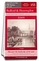
Old Series - 1805 to 1874
123 maps covering all of England & Wales
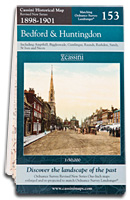
Revised New Series - 1896 to 1904
122* maps covering all of England & Wales
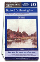
Popular Edition - 1919 to 1926
123 maps covering all of England & Wales
Engraved maps from the time of the canal and the horse-drawn cart.
Sepia-toned maps capturing the development of the Late Victorian railway era. * Isle of Man not included
Britain’s first full-colour maps showing the dawn of the motoring age.
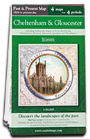
Past & Present - 1805 to today
Selected cities and towns
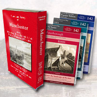
3-map Box Sets - 1805 to 1926
122* maps covering all of England & Wales
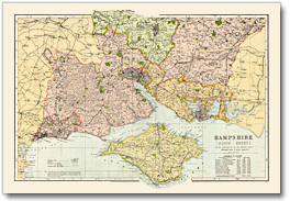
Bacon County Maps 1900
All the counties of England
64 selected cities and towns, with four maps of four different time periods on one sheet.
A set of three matching Cassini maps from three different periods in a presentation box. * Isle of Man not included
Taken from Bacons Commercial and Library Atlas of the British Isles of 1900.